Flood and location map options in TOTAL
If you don't see your map options when you're retrieving a map, but you're not getting all your map data, this doc will help you fix the problem.
Document 6514 | Last updated: 01/04/2017 MJY
TOTAL has an option to not prompt you for map options, and if those options aren't set to get information, you might think something in the program isn't working properly.
A common cause for flood information not coming in with the location map is having the option disabled in addition to having the prompt for map options disabled. Follow the steps below to ensure you have the flood integration enabled.
- While in a report, click the Tools menu, then choose Configure Settings.
- Now, click Maps from the list on the left.
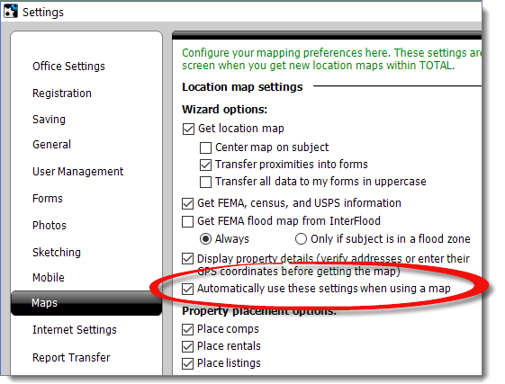
- If you need to get flood information, check the options for Get FEMA, census, and USPS information and Get FEMA flood map from Interflood (if you have an Interflood account).
- Unmark the option for Automatically use these settings when using a map.
- Select any other options for your maps that look applicable to how you work, such as which data should be transferred over and how.
- Click Save and Close.
Now when you get a location map for your report by clicking Add Map, you're prompted with map options, so you can control the information brought into your report.
When getting maps, be sure to click Next through the Wizard so you go through all the steps, as opposed to clicking Finish after viewing your location map. This way you can see other data, and ensure it transfers to your forms.
Related Links
DID YOU KNOW?
InterFlood directly integrates with TOTAL, so adding professional, hi‑res maps to your reports has never been easier — just 3 clicks!
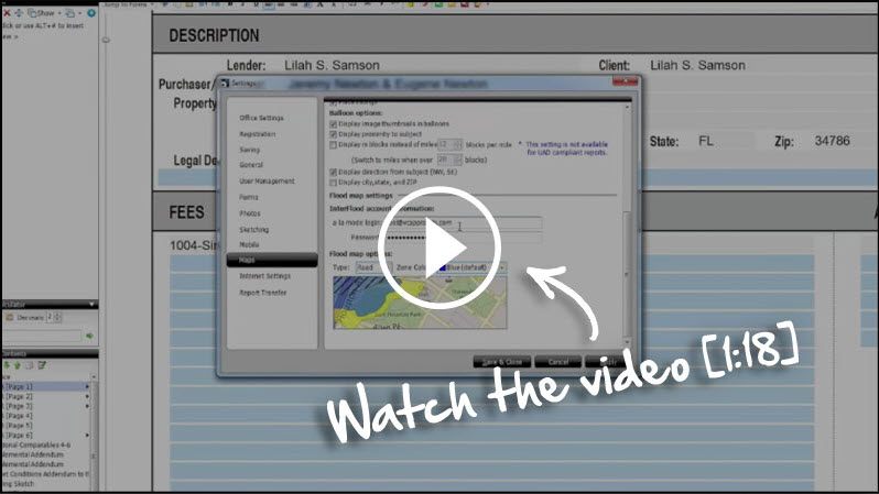
See the step‑by‑step instructions for setting up InterFlood in our video [1:18].