Using and Integrating Flood Maps with TOTAL
You can save a ton of time by getting your flood maps straight from TOTAL. This document shows you how.
Document 5012 | Last updated: 06/02/2022 MJY
InterFlood is our web‑based flood map service that saves you the hassles of looking up and scanning flood maps. They're high-quality, colorized, accurate, and affordable.
To set up TOTAL to download flood maps, you'll need your Username and Password. If you don't know it offhand, you can retrieve it at www.alamode.com/configurepassword.
To configure your flood map options in TOTAL, follow the steps below:
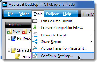
- With TOTAL open, click Tools, and select Configure Settings.
- Select Maps from the list of categories on the left and scroll down to the Flood Map Settings section.
- Enter your a la mode login and Password into the provided boxes.
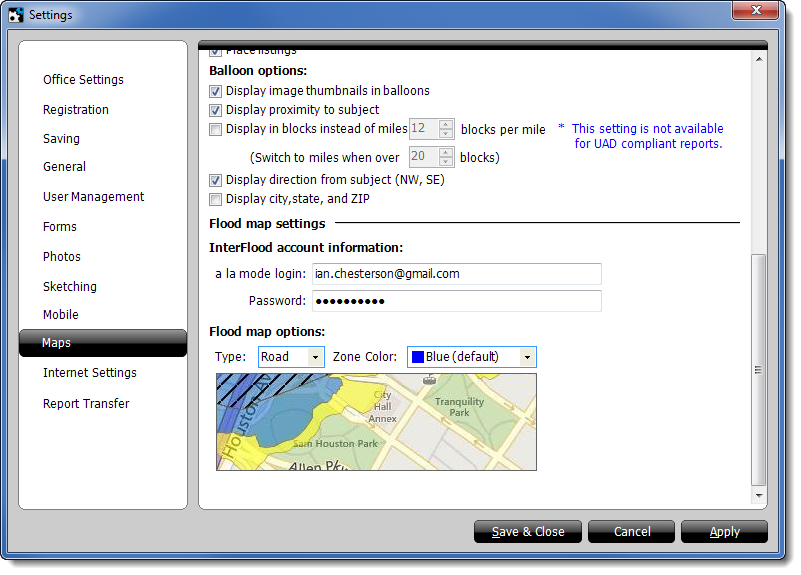
Optional: You can also choose the Type of map you want to download and the flood Zone Color using the drop‑down menus above the sample map in the Flood map options section.
- Click Apply or Save & Close to save your changes.
Related Links
DID YOU KNOW?
InterFlood directly integrates with TOTAL, so adding professional, hi‑res maps to your reports has never been easier — just 3 clicks!
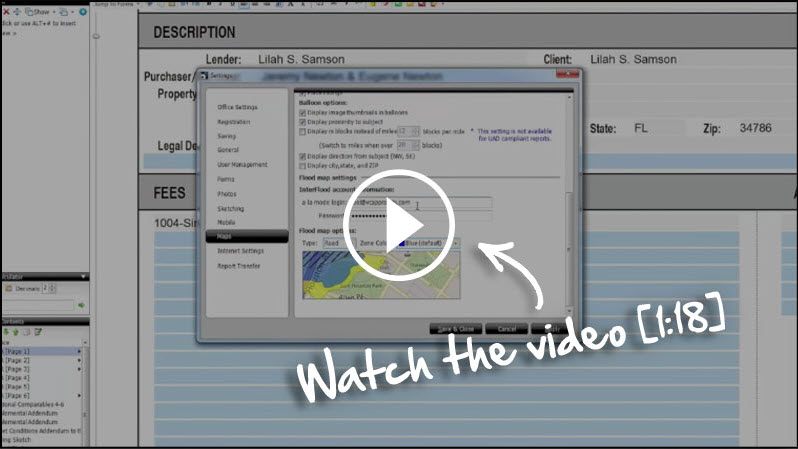
See the step‑by‑step instructions for setting up InterFlood in our video [1:18].