Flood Zones: B, C, & X
This document explains flood zones B, C, and X as they relate to InterFlood maps.
Document 5022 | Last updated: 10/29/2015 MJY
What is Flood Zone X?
Flood zone reporting is obviously a source of concern for appraisers, considering the National Flood Insurance Program (NFIP) requires federally regulated lenders to carry flood insurance for those properties at risk of flood as reported by FEMA. However, irregularities in flood zone reporting by FEMA can sometimes make zone determination difficult.
In 1985, in an attempt to minimize the number of zone designations, FEMA changed their zone reporting, replacing zones B and C with a new designation, X. Areas previously marked as zone C were replaced with unshaded areas marked as X. Areas marked zone B were replaced with shaded areas also marked as X. Unfortunately, FEMA does not strictly adhere to this new zone reporting policy, sometimes still using zones B and C on flood maps published after the 1985 zone changes.
The good news for appraisers is that zones B, C and X are equivalent with regard to NFIP flood insurance requirements. FEMA defines these as zones of minimal hazard and as such, properties in these areas have no flood insurance requirements although insurance is available. Links to several official FEMA publications are listed below for documentation of changes regarding zones B, C and X.
To find the most current FEMA flood maps for your area, visit www.InterFlood.com. Retrieving flood maps is as simple as entering a street address or typing the latitude and longitude and clicking a button.
For more information about FEMA's flood zone designations, click here to visit FEMAs Map Service Center FAQ.
Related Links
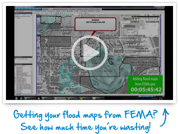
GETTING FLOODMAPS FROM FEMA?
When you're working against a deadline, every minute counts. Seamlessly add our hi‑res, full‑color, automatically sized InterFlood maps straight to your report in only seconds.